About the Southern Fleurieu Coastal Action Plan
How this plan was developed
This plan was developed through a collaborative process involving a wide range of stakeholders responsible for managing the Southern Fleurieu coast. Its preparation was based on scientific research, ecological data, cultural knowledge, and on-ground technical skills and management experience. While the Hills and Fleurieu Landscape Board coordinated the update, this final product is very much a plan for the whole region, with all coastal land mangers responsible for the development of the
actions and delivery of the plan. Key steps in the process included:
Data review – collating existing ecological, cultural, and land management information relevant to the coast and nearshore environments.
Technical reviews and document content updates – specific reviews were undertaken with key experts and land manager staff to identify important inclusion and gaps from the original document.
Stakeholder consultation – engaging government agencies, councils, Traditional Owners and First Nations organisations, local community groups, and landholders to ensure the plan reflects on-ground conditions, local knowledge, and shared priorities.
Expert input – seeking advice from ecologists, coastal managers, and cultural heritage specialists to inform recommended actions and priorities.
Collective refinement – Engaging with stakeholders to finalise recommendations through collaboration, ensuring they are actionable and regionally appropriate.
It is important to note that this update did not include all components of the previous plan, such as GIS data layers and flora and fauna species assessments, but introduces new elements including vegetation associations, estuary and nearshore habitats, and a stronger focus on land-based impacts to the marine environment.
Scope of the plan
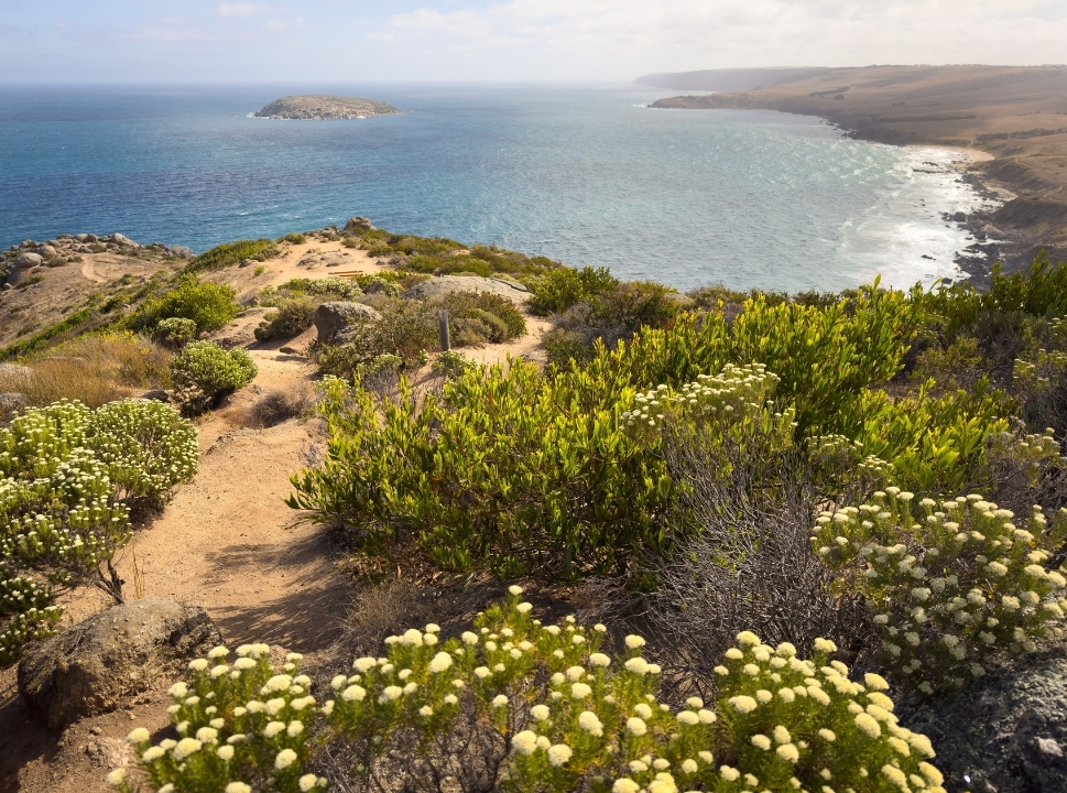
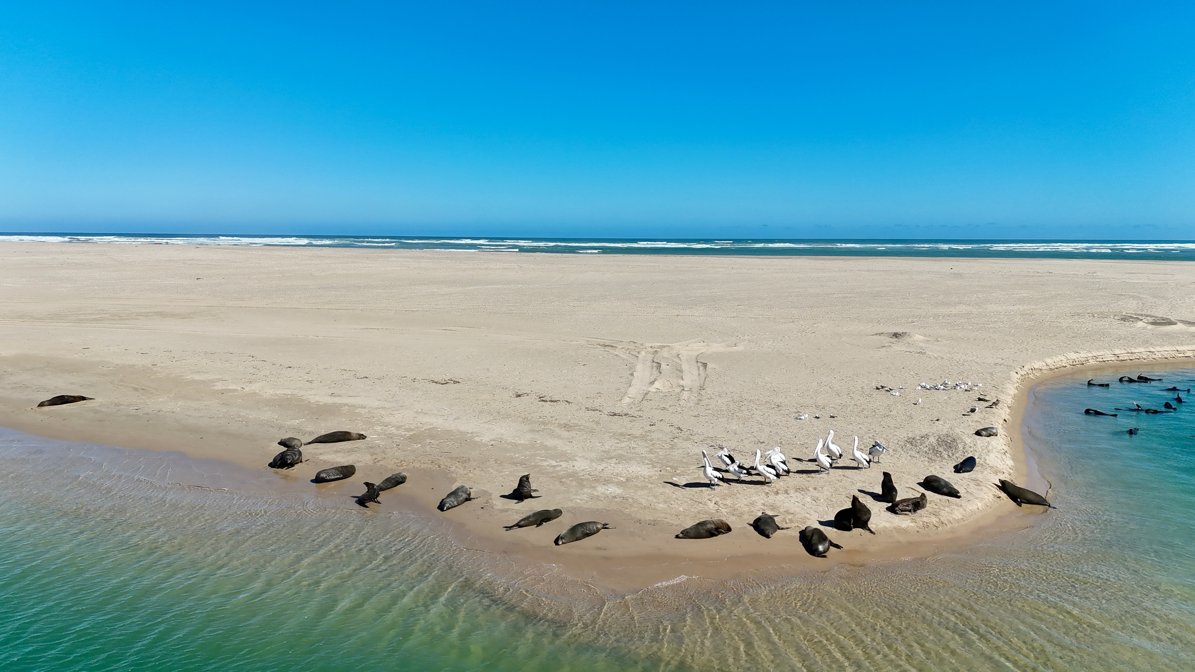
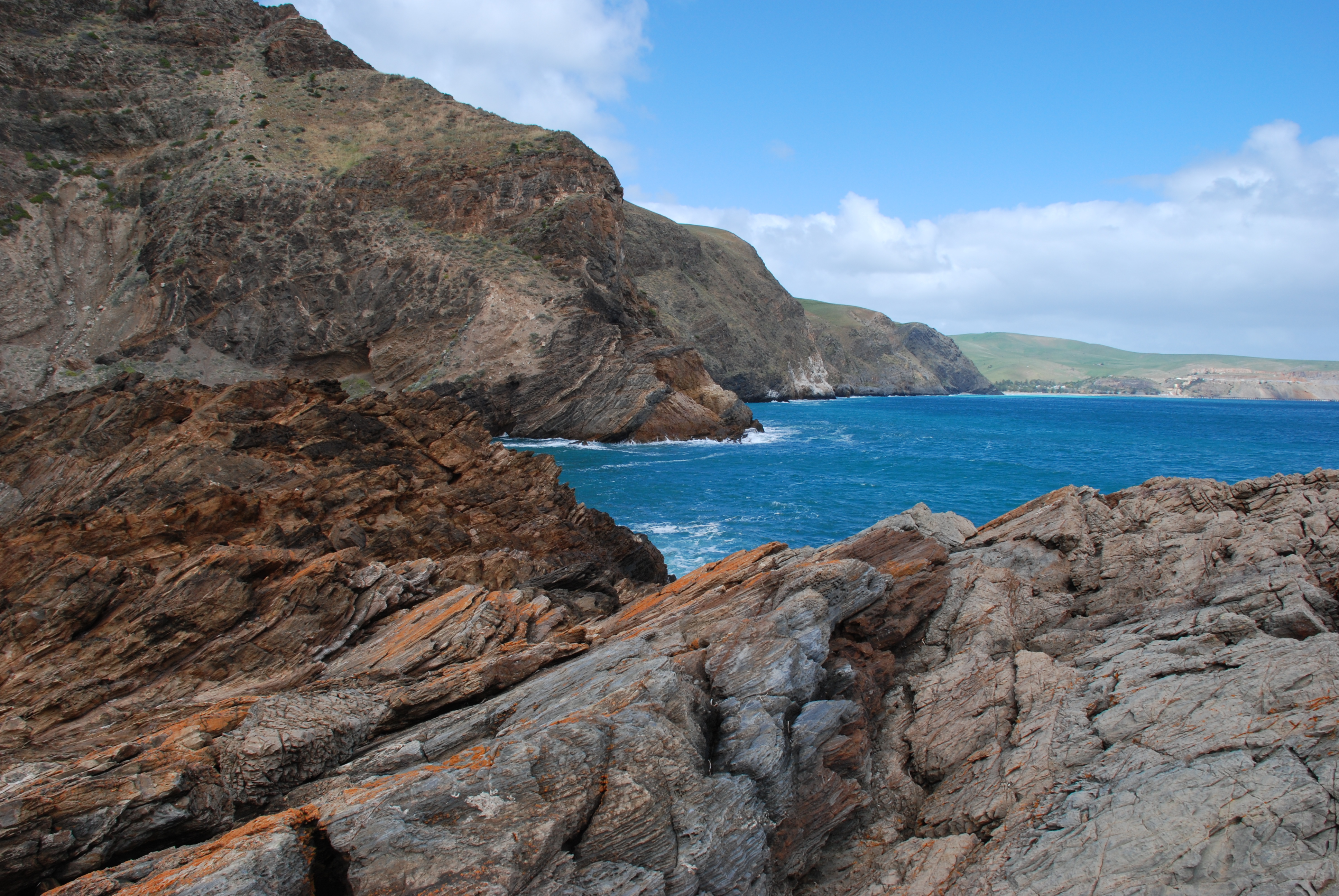
The Southern Fleurieu Coastal Action Plan focuses on the coastal environments of the Hills and Fleurieu Landscape region, extending from Sellicks Cliffs to the Murray Mouth. It includes nearshore marine environments, seven offshore islands, and up to 500m inland from the high-water mark. In some areas the
inland boundary of the cell aligns with the outer limits of an existing conservation area (national park, council reserve) or the upper reaches of an estuary. This has been done to ensure consistent and realistic on ground management across these areas rather than stopping at an arbitrary line.
The plan aims to assist and guide decisions related to the conservation and management of environmental assets, as well as the protections and preservation of cultural heritage along the coast. It does not extend to built infrastructure (jetties, sea walls, boat ramps, buildings or private dwellings) or consider budgeting
or financial requirements.
The plan aims to improve coordination and integration across the region’s public and private land managers by providing site-specific ecological information, regional priorities, roles and responsibilities, and recommended management actions.
The coast has been divided into 27 sections, or ‘cells’. Each cell presents localised data and recommendations to help managers identify priorities, guide investment, and coordinate on-ground works. The cells vary in size and character, reflecting logical management areas, such as stretches between headlands or entire beaches within conservation parks, and are defined by environmental boundaries rather than administrative ones. While each cell can be viewed individually, the plan is most effective when applied collectively, recognising the interconnected nature of the coast and its ecosystems.
Caring for our coast together
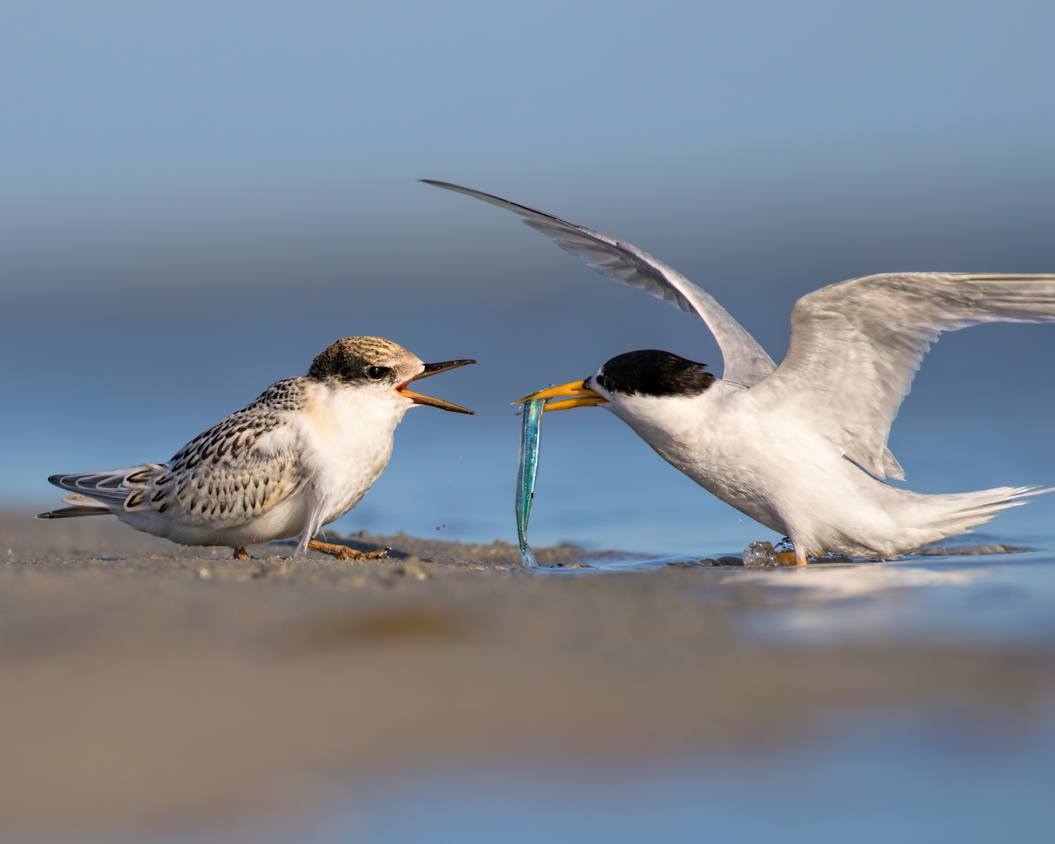
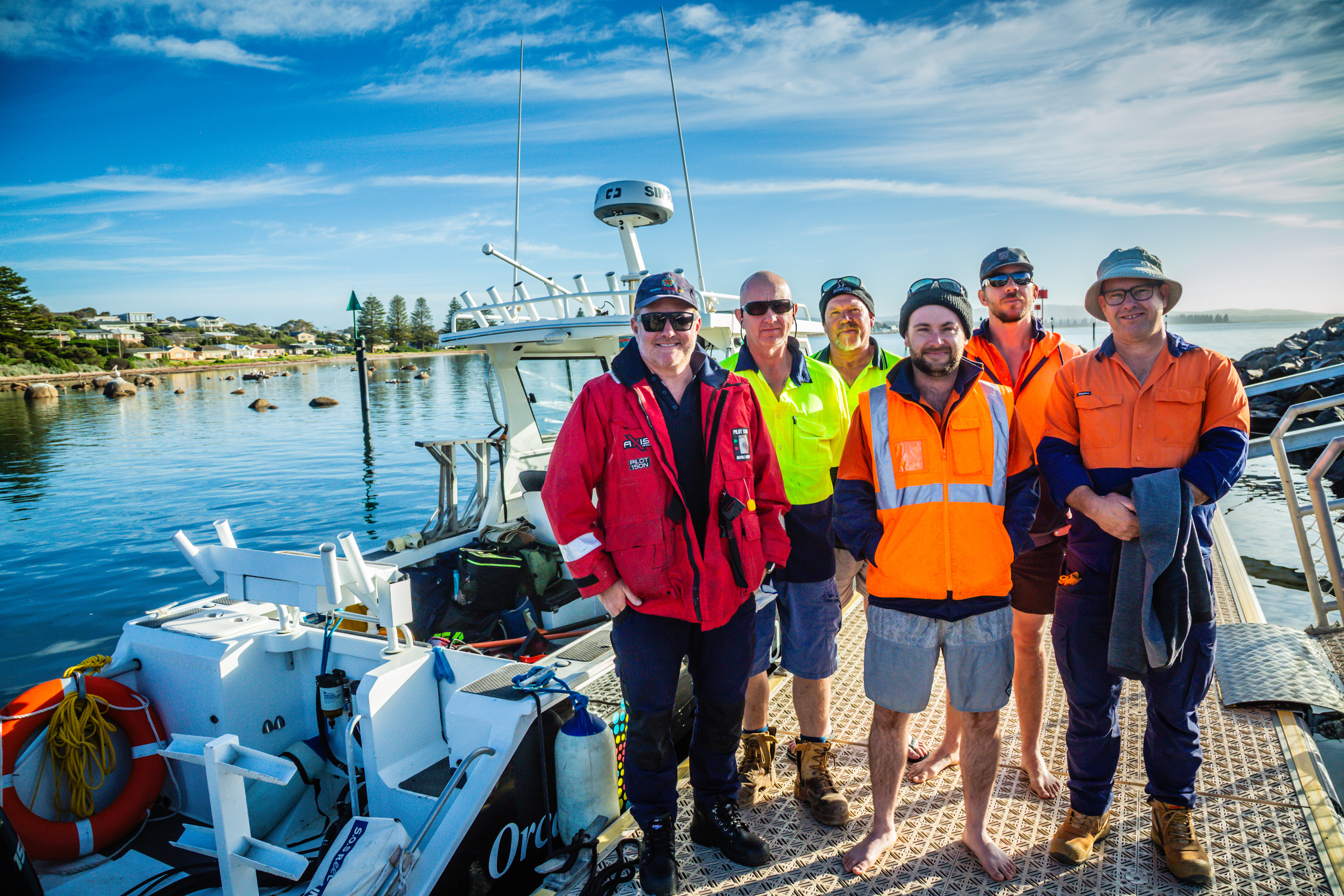
We’re all in this together. Through strong and growing partnerships, agencies, land managers, First Nations and Traditional Owners, and local groups work together to enhance, protect, and restore coast, estuarine and nearshore habitats. This collaboration supports efforts to sustain biodiversity, strengthen resilience, and manage our coast in ways that respect cultural knowledge and environmental values.
Department for Environment and Water (DEW) – leads environmental policy and investment, manages public coastal land and assets, and provides the science, regulation and land‑management functions that underpin coastal stewardship.
DEW's Coast Unit - delivers science-based coastal management through monitoring, data and expert advice. It supports the Coast Protection Board and guides councils and communities in coastal hazard and climate adaptation planning.
Coastal Protection Board (CPB) - safeguards South Australia's coastline under the Coast Protection Act 1972, overseeing coastal development, protection workds and responses to erosion and hazards. The Board sets policy direction for sustainable coastal use and conservation across six areas - development, hazards, protection works, conservation, heritage and landscape, and access – and provides grants to councils and community groups for coastal protection and adaptation projects.
Department for Infrastructure and Transport (DIT) – manages beaches, jetties, boat ramps, harbours and marine safety.
Environment Protection Authority (EPA) – regulates coastal water quality and pollution.
SA Water – Land manager of Sir Richard Peninsula and oversight of several wastewater treatment plants.
Local councils – maintain beaches, dunes, access points and local coastal infrastructure, provide education, and enforce compliance on council reserves including beaches.
Hills and Fleurieu Landscape Board and Green Adelaide – support and develop monitoring programs, coastal restoration and planning initiatives, and build partnerships with community nurseries, land managers, volunteers, and coastal communities.
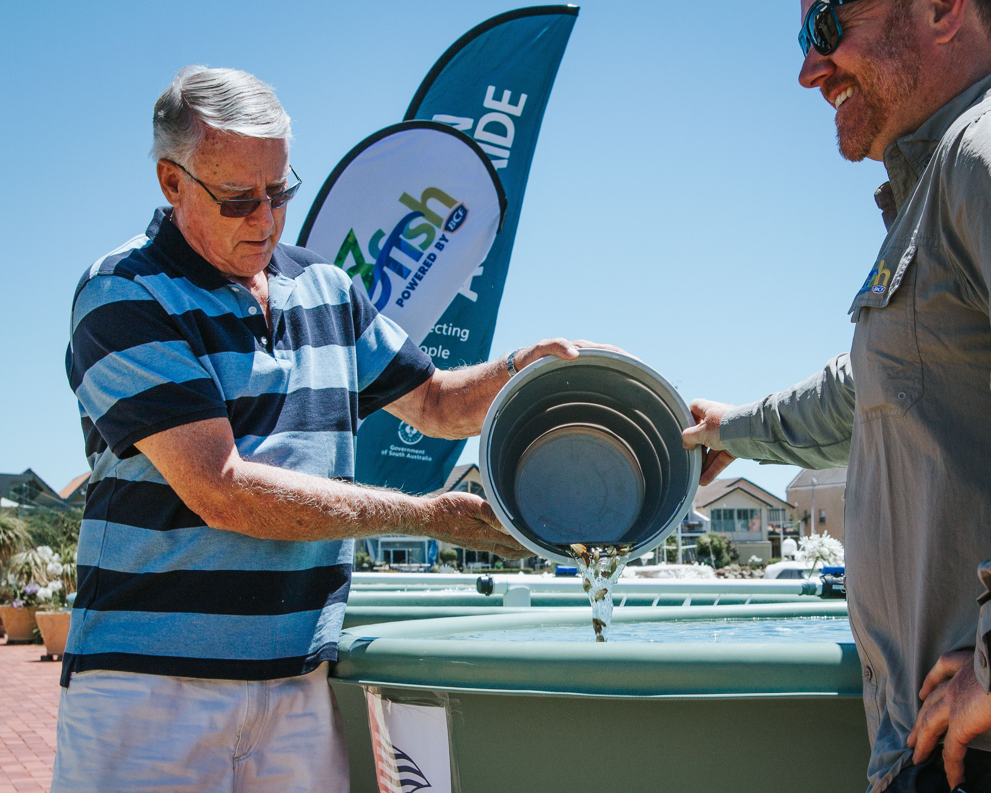
Community, coastal community groups and NGOs – care for local coastal areas through on-ground projects, education, and volunteer efforts.
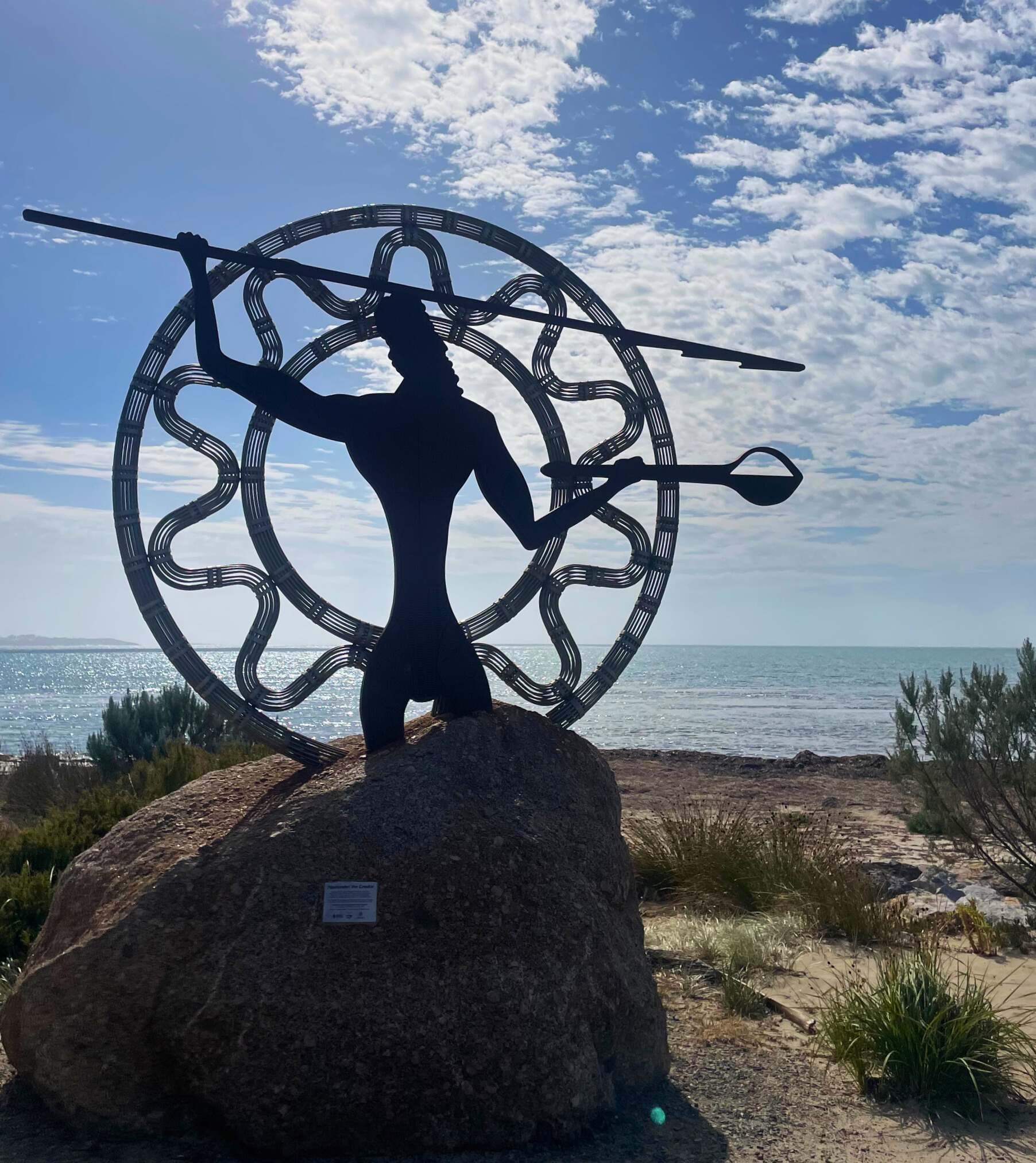
The Kaurna and Ngarrindjeri/Ramindjeri – communities hold deep cultural, spiritual, and traditional connections to Sea Country and play a central role in the ongoing care and
management of coastal lands and waters. The plan recognises and supports continued collaboration with First Nations communities to guide culturally informed management and
decision-making.
How to read the cells
Each of the 27 cells in the plan presents site-specific information to help land managers make informed decisions about the conservation and management of natural coastal assets. While each cell can be considered individually, they can also be viewed collectively, recognising the interconnected nature of the coast.
The structure is consistent across all cells to make it easy to compare areas and plan coordinated actions. Each cell includes:
Cell name and location – identifies the section of coastline and its position within the regional framework.
Overview – summarises the key features and values, landforms and land managers of the cell.
First Nations cultural heritage and connection to land and sea Country - acknowledges cultural values and knowledge systems.
Conservation values, threats and opportunities – outlines habitats, cultural and ecological values, pressures, and opportunities for improvement.
Climate change - describes likely impacts and areas of conservation value vulnerable to climate-related pressures.
Cell Action tables - lists local issues and proposed actions, plus key players involved in decision making or managing the area.
Cell biota – summarises native and introduced species, including conservation-rated species and declared weeds.
Practical application of the plan:
- Use individual cells to identify local priorities and guide on-ground management.
- Refer across multiple cells and regional priorities to coordinate works and align efforts.
- Draw on ecological data and recommended actions for planning, reporting, and funding applications.
- Apply the plan collaboratively - actions are most effective when coordinated across neighbouring land managers and supported by the wider community.

Access the Southern Fleurieu Coastal Action Plan and Cells
Implementation and delivery
Delivery of the Southern Fleurieu Coastal Action Plan relies on a collaborative, region-wide approach. Implementation of the plan focuses on how land managers and stakeholders work together to achieve shared outcomes.
Key implementation functions include:
Regional coordination and oversight – ensuring alignment across agencies, councils, and community groups.
On-ground delivery – carrying out restoration, threat mitigation, and monitoring activities within each cell.
Cultural leadership and integration – led by First Nations communities to guide culturally informed management.
Technical support and data management – including ecological assessments, mapping, and adaptive planning.
Community engagement and stewardship – fostering local involvement through education, citizen science, and volunteer programs.
Each function is supported by the relevant land managers and stakeholders that have roles tailored to their expertise, jurisdiction, and connection to place.
Measuring progress
To ensure the Southern Fleurieu Coastal Action Plan delivers meaningful and measurable outcomes, a monitoring, evaluation, reporting, and improvement (MERI) framework has been developed. This framework will guide how progress is tracked, reported, and adapted over time.
Key components of the MERI framework include: Monitoring – Regular ecological and cultural monitoring will assess habitat condition, species diversity, threat reduction, and community engagement. Monitoring will be aligned with regional priorities and tailored to each cell’s specific values and pressures.
Evaluation – Progress will be evaluated against the plan’s medium (5-year) and long-term (10-year) outcomes through tracking the delivery of the priority actions. Evaluation cycles will identify successes, challenges, and opportunities for improvement.
Reporting – Transparent reporting will ensure stakeholders and the community are informed of progress. Annual summaries and mid-term reviews will be shared through regional channels and stakeholder networks.
Improvement – Adaptive management will allow actions
to be refined based on research and monitoring results, stakeholder feedback, and emerging threats. This ensures the plan remains responsive and effective over time.